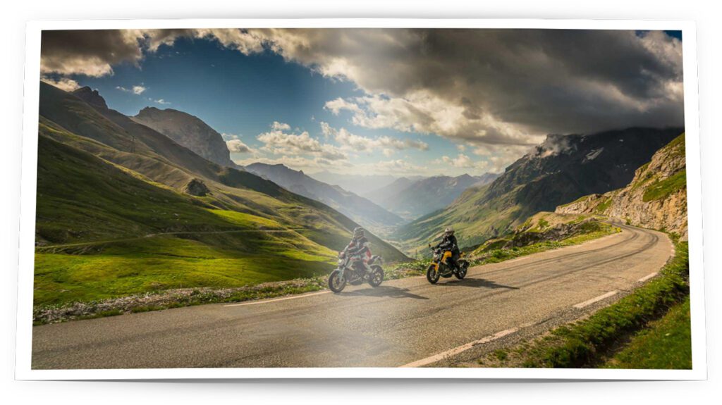
Visiting the largest dams in the west of South Tyrol – a tour to romantic lakes that rarely tell romantic stories. A first-class Moppetprosa-Story – all photos shown by www.moppetfoto.de, text by me.

This story appeared – slightly revised – in MOTORRAD, Europe’s biggest motorcycle magazine, issue 14/2021 (June 2021).
Before you read, please note: this post was translated with the help of Deepl.
If you find any errors – please have fun first and then give me a hint.
South Tyrol – the dark gorge of the Finstermünz disappears in the rear-view mirror, then a wide valley opens up at the village exit of Nauders and Austria releases the traveller over a straight asphalt ribbon into the warmth of the Italian south. A few moments later, the highest mountains show up in the distance and the largest lake in South Tyrol – a few metres beside the front wheel – fills the panorama.
Lake Resia leans against the mountain on both sides: in late summer it stands high, up to 30 metres deep and navigable, in winter it lies low, frozen and accessible to snow kiters. The church tower, which juts out of the water tempts you to stop for a photo – when it’s not high season there’s plenty of space to do so.

Stop at Lake Resia
A little later it becomes obvious why this lonely tower waters its foundations here: a slender, almost 470-metre-long dam, a rampart of firmly rolled and concrete-clad earth, rises 30 metres above the village of St. Valentin. The sharp Venosta wind not only whips the water over 6.5 kilometres, but also blows motorcycles into inclined positions on the drivable dam crest. When it was completed, this was Italy’s first very large dam and one of the largest in Europe.
The tower became a monument to merciless mechanisation and is the sad remnant of the village of Alt-Graun. From the 1930s onwards, people and the landscape in South Tyrol were mercilessly subordinated to the electricity needs of northern Italian industry. The power of water was unleashed on the villages and their inhabitants. As if that were not enough, the lake claimed more than 20 lives in August 1951 when a public bus left the road along the shore and plunged into the floods.
Dramas
at the dammed water
Numerous paths around the lake allow romantic views over the water, crazy surfers and the only liner in South Tyrol – but with the knowledge of the dramas that have taken place here, it is rare to succeed in swinging through the hairpin bends of the Malser Haide, which the locals like to take on their knees. Here, in the far west of South Tyrol, superlative ground is traversed: this is the largest alluvial cone in the Alps, presumably created by a gigantic landslide – and the reason for the existence of the formerly three lakes. Today, natural disasters and human rawness allow for unique riding experiences in the shadow of the Ortler.

We leave the Lake Resia behind us
Barely 16 km later, we encounter the water of the lake again: after its way through dark tunnels, it shoots through the power plant of Montecatini, shortly before Schluderns. Thick concrete walls and the loud whirring of electricity in the air give an impression of the force with which the water rushes onto the turbines. In front of this colossal power hall, an equestrian statue symbolises man’s victory over nature – and does not mention the price paid for it …
South Tyrol – land of mountains, land of hydroelectric power: on the sides of the Venosta Valley stand old, eye-catching, actually beautiful buildings, woven around by power cables and fed by thick pressure pipes from the mountains: the large power plants of Laas, Kastelbell and Naturns, which were built parallel to the dams and reservoirs in the 1950s. The small private power plants, which are far more numerous, remain invisible.
To the right of the Adige, the river whose waters are repeatedly dammed and released, the Martell Valley leads high into the wild glacier world of the Ortler region, flanked by steep mountain walls and criss-crossed by the peacefully flowing Plima. Handy, powerful motorbikes are on their turf here – the few straights are interrupted by entertaining combinations of bends, and the seamlessly merging spiral curves dethrone even the serpentines of the nearby Stelvio. And while thousands of motorcyclists ride unsuspectingly past the entrance to the valley and struggle through the Venosta traffic, the locals know better and enjoy – whether on sports bikes, cruisers or enduros – swinging through this beautiful landscape.

Sweeping fun in the Martell Valley
The end of the valley is barely 30 kilometres away, and the third highest mountain in the Ortler Alps, the Cevedale, tops the action. At the beginning, the route goes swiftly through apple orchards drawn with a ruler, the road climbs steeply and curves, and it becomes clear why spectacular mountain races were regularly held here until 1989.
After the halfway point and two sharp switchbacks, a narrow path meanders through dense forest, circles around huge boulders and crosses high alpine strawberry fields. Llamas graze around Indian tents, contrasted by an ultra-modern biathlon centre within sight – and suddenly, as if out of nowhere, a concrete construction of epic proportions stands across the valley: the dam wall of Lake Zufritt rises more than 80 metres into the sky and roughly divides the valley, which up to this point has felt untouched, into two parts. The mountain giants, into whose flanks the wall rams, do not stand a chance against the mighty impression left by the sloping and dozens of metres wide reinforced concrete struts.
Rough constructions
in pristine nature
With hundreds of thousands of tons of weight, the dam braces itself against the 70 ha lake and has also kept the sometimes furious Plima under control since the mid-1950s. Nevertheless, a catastrophe could not be avoided: in the summer of 1987, the gates had to be opened in an emergency due to heavy rainfall to prevent the lake from overflowing – and could only be closed again much too late. The floods destroyed numerous houses and caused immense damage …
Eight scarred hairpin bends lie on the way to get to the height of the wall crest and to be able to follow the riverside road, which resembles the narrow balcony roads of the French Vercors. Again, impressively wild nature takes over the reigns of impressions before another eight challenging serpentines bring the motorcyclist to the end of the road. From now on, it is only possible to continue – if at all – by foot.
Back in the Vinschgau Valley, a dozen kilometres from the entrance to the Martell Valley on the left side of the valley, a cleft cut sharply into the mountain opens up. Too many rockfalls forced the construction of a tunnel here, which now prevents the view of Reinhold Messner’s Juval Castle. But a little later, the adventurously designed road compensates for this with deep views into the gorge of the Senales River. Few villages, some dramatically set on mountain peaks fly by and do not inhibit the motorcycle’s forward momentum. Steep ramps hanging spectacularly from the mountain alternate with flat stretches through lush greenery.

On the way to the Senales Valley
Only 1,300 people live here, making this the most sparsely populated valley in South Tyrol. It is not until the village of Unser Frau that you are reminded to hold back on the throttle – which may be a little difficult in view of the six well-built hairpin bends at the end of the village. The 65-metre-high dam of Lake Vernagt is climbed via them. No grey concrete masses as in Martell push themselves into the foreground, but a strangely even and green overgrown slope.
Losses of
buildings and livelihoods
100 hectares of crystal-clear water reflect the mountains of the Ötztal Alps – the lakeside road sharply skirts the water’s edge, and when the level is low, a church tower rises out of the lake here too. Although far less well-known than its counterpart in the Lake Reschen, this does not take away from its drama. Even here buildings and livelihoods sank into an artificial lake, and its emerald green colour belies the losses of its former inhabitants in a frighteningly friendly way.
The water collected here also makes its way down through the mountain, through unimaginably complicated tunnels and installations, and falls onto three turbines in Naturns via a two-kilometre-long pressure pipe visible on the rock. Every year, it pushes more than 300 million kWh into the power grid, making it the largest high-pressure hydroelectric power plant in South Tyrol.
Such huge power is no longer needed for the drive to Kurzras, a handful of kilometres beyond the lake – the last town in the valley and a less attractive skiing hotspot. In view of the weathered hotel buildings and the cable car, which has already seen its best days, the ride over the abandoned Senales road and through the brown-coloured, narrow and steep gorge back to the Venosta apple orchard is an exciting, almost electrifying pleasure.
Perfectly matching:

Dream Roads: The Gavia Pass (2621 m)

Dream Roads: The Susten Pass (2224 m)

Dream Roads: The Furka Pass (2429 m)
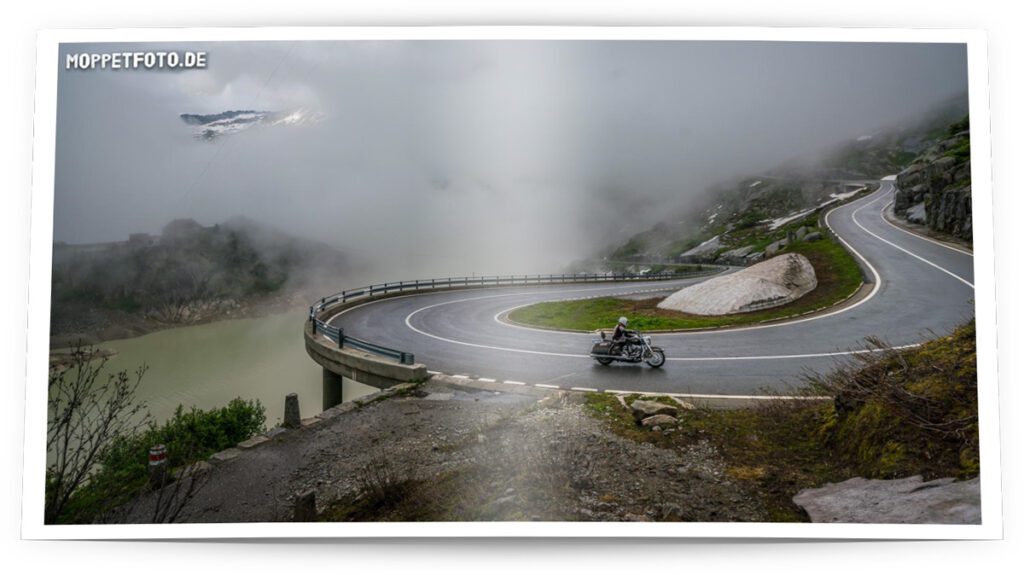
Dream Roads: The Grimsel Pass (2164 m)

Dream Roads: The Col de l’Iseran (2770 m)